Cheltenham Circular, part one
Having walked a lap of Gloucester last year - the Glevum Way - we decided to do the same for Cheltenham this year - via the Cheltenham Circular Footpath.
The route is marked and named on OS maps, and we'd seen occasional marker signs previously. There is a guidebook, which was published in 1996 and so no longer 100% accurate! I bought it anyway, and will attempt to highlight any differences as I write things up - but mostly it seems to be things like styles having been replaced with kissing gates.
The route officially starts either at Cheltenham Racecourse or Pittville Pump Rooms, depending what you read, and is about 25 miles/40km. I mapped it out on OS maps without the pump rooms detour and that says 38km.
Our first leg took us from Golden valley to the Racecourse (guidebook sections J and K - between 13 and 1 on my OS route), starting from a bus stop on the B4063, next to what used to be the Pheasant Inn. This is currently a private residence, but it's also been a Thai restaurant relatively recently. The Stagecoach 94 bus goes past very frequently, so it's easy to get to from Cheltenham or Gloucester.
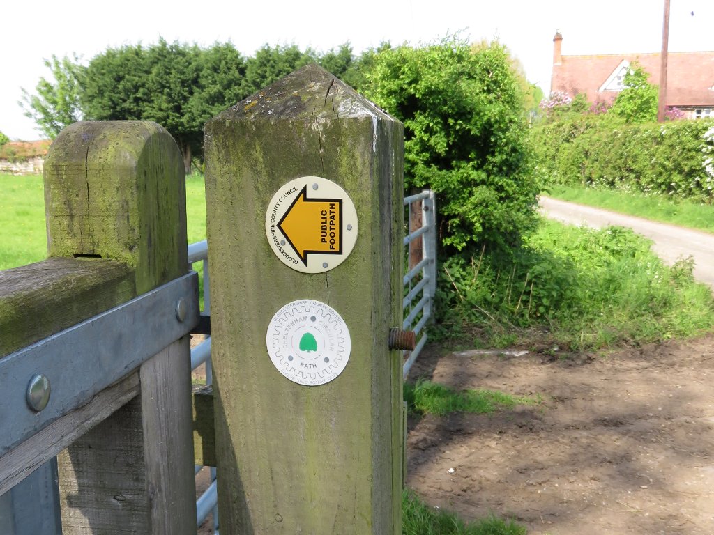
Waymarked signpost. A bit of a rarity!
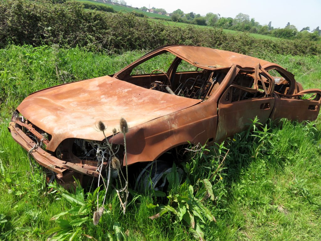
The path heads north through fields and past a slightly smelly sewage treatment plant near Fiddler's green. It was here that we spotted the first burnt out car of the day, which is not what any of us were expecting to find in the middle of a field.
What I was expecting to see was more footpath/marker signs! Good thing we had maps and GPS because it was really not obvious where to go.
At one point our path abruptly vanished into a large and deep wet hole - complete with orange safety barrier but no suggestion of a detour. We carefully picked our way around it, and continued along the very boggy path. I should have taken a photo as then I'd be able to tell you exactly where it is, but was a bit preoccupied with a) not falling in and b) not letting the dogs fall in.
We popped out on the A4019 at Uckington, and walked along the pavement for a bit until we turned into more fields just opposite the fire station. Busy main roads always tend to be the low point on walks like this, but thankfully it was only for a few hundred metres.
St Mary Magdelene churchyard in Elmstone Hardwicke provided a good spot for a drink and snack stop - and a chance for Jon and Jon to empty water out of their boots. I decided I'd just suffer damp feet rather than having to put wet shoes and socks back on - especially as my Keen Terradora boots are very definitely falling apart where the toe area flexes ![]() Waterproof fabric is no use if there are holes in it!
Waterproof fabric is no use if there are holes in it!
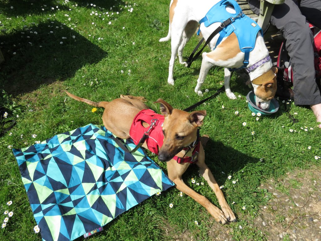
dogs very deliberately avoiding sitting on my new pacmat
Crossing the excellently named Dog Bark Lane we arrived in Swindon Village, where once again any footpath marker signs vanished. Time for a quick game of 'hunt the path' through a residential area and sports ground (hint: it's in a far corner of the car park).
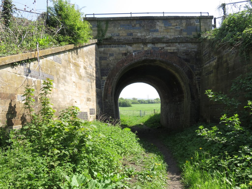
railway tunnel
We passed under the railway line, and went signpost hunting again once we reached the main road. It's somewhere just before the bridge - if you go under the railway again you've gone too far! From here all that was left was to walk up a slight hill and into the racecourse parking areas - and to admire the second burnt out car of the day. Lovely.
We had hoped to walk the next section (A) too, and finish at the pub in Prestbury. However, despite starting at 9am it was too hot (on a May bank holiday Monday?!) and therefore too much for the dogs. So at the racecourse we walked into Cheltenham through Pittville park (Stagecoach D/E buses also available) and headed to the Swan for some delicious burgers before getting the bus home again.
11.5km of the route complete!
 tags:
tags: