Picture the scene. It's February, everywhere is still in lockdown, and pretty much everything that pops up on the news is still awful so you basically hate everything.
But it's the weekend and the sun is shining. I felt a huge urge to stand on top of a hill with the wind in my hair. Unfortunately 'stay local' when you live just near Gloucester doesn't leave much scope for that...
Sandhurst Hill stands a mighty 88m above sea level. But it is right next to the river and is actually fairly prominent, so you can easily pretend. A 7km route takes you around and over it.
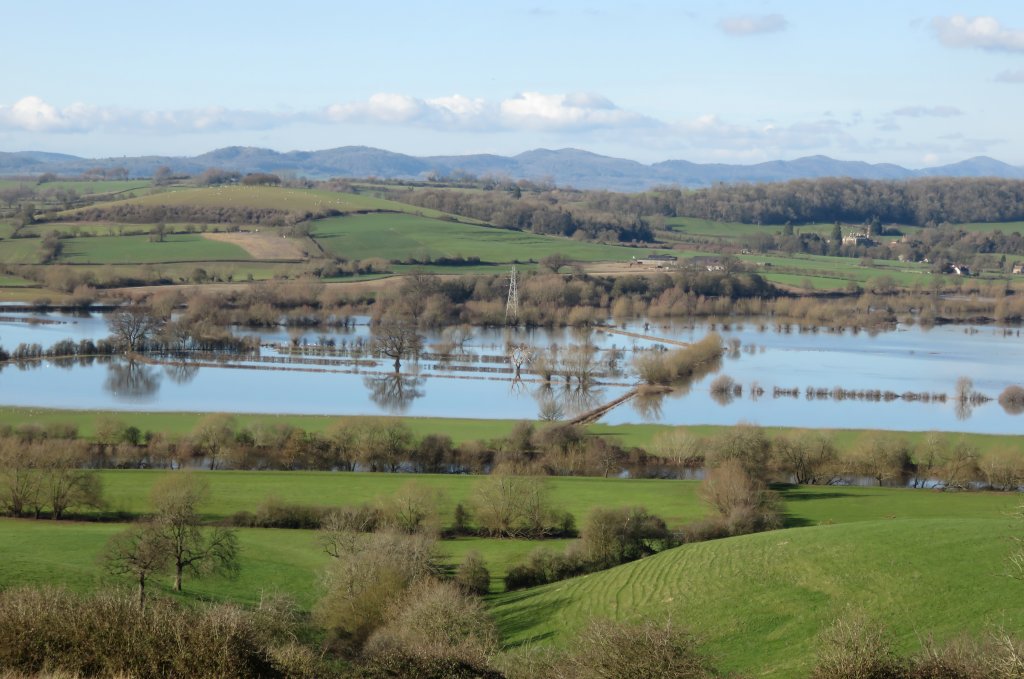 nice view of the Severn floodplains doing their job, with the Malvern Hills in the background and actual river just visible in the foreground
We parked by the Red Lion pub and took the muddy path up the hill, turning right at a gate to continue around the hill on the Severn Way. You'd think this footpath junction would get a nice obvious Severn Way marker, but currently that is not the case. The path goes through some woods - muddy in places at the moment - then into fields following the river bank.
Turning away from the river onto Rodway Lane, the ascent begins! The rocky track/bridleway that goes all the way to the top of the hill is also quite fun to ride bikes down. Maybe not so much riding up, but a lot of people do enjoy that sort of thing...
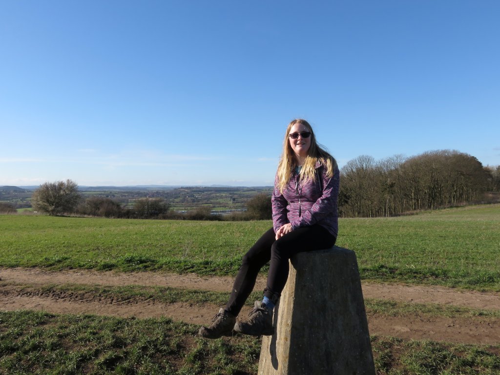
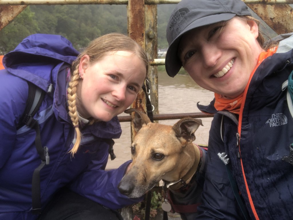
Of course I insisted that Jon take a picture of me sitting on the trig point. We also put Tilly up there for photos, if you prefer some #trigpointdogs.
From the top it's pretty much a straight line back down the path to the Red Lion. Would have been lovely to pop in for a drink (or even dinner!) but noooo. That will have to wait a few more months. At least the walk helped my brain feel a bit refreshed.
It feels like every time I attempt to write about anything that's happened in 2020 the first words are "Plan A couldn't happen because of the pandemic, so here's Plan B".
On this occasion, Plan A would have been another #GetOutsideDay activity challenge weekend with Zoe and Sarah. (See 2018, we also did 2019 but I suck at blogging so no write up of that one (yet?))
Plan B turned out to be a rather rainy walk in the Wye Valley, along the Angidy River in Tintern.
The Angidy Trail is a circular footpath exploring the hidden industry of the valley, which was used for making wire. The information claims that the walk is 5 miles, but when I plotted it out in OS maps it came up much shorter!
The trail starts from the Lower Wireworks car park (free), where there are some information boards about the history of wiremaking. The trail isn't specifically waymarked, and I'm not sure where the "5 Miles" claim comes from because it's definitely shorter - I'd plotted a route which included the trail and some extra hill and the whole lot came out at 7km (4.3 miles)
We took a wrong turning almost straight away - walking up the road rather than forking slightly left. With the help of a friendly local we eventually found the correct path though. The same man appeared again a little while later as we were admiring the remains of a dam and mill pool, and we had a good chat about the river, local history, and which famous people used to live nearby.
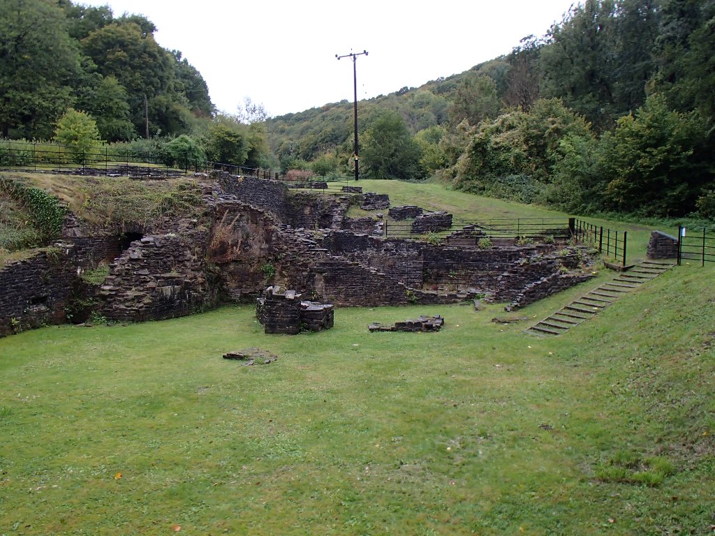
what's left of Abbey Tintern Furnace
I'm sure I've already mentioned that it was a particularly rainy day. The Angidy is only a small river, so it doesn't take much extra water to turn it into a bit of a raging torrent. Shortly after the furnace buildings, pictured above, we had to turn back on the flooded footpath and walk up the road instead.
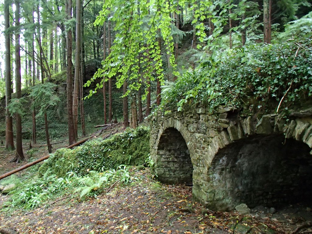
Once we reached the top ponds at Pont y Saison we detoured from the Angidy Trail and headed up the hill to Fairoak. From here, it was back down through the sheltered woods until we got to Tintern. Another detour along the Wye Valley Walk took us to the limekilns.
And of course, you can't really go for a walk in Tintern without having a quick look at the Abbey. Mostly because it's massive and very obvious, hah.
The Wireworks bridge (frequently featured on Netflix's 'Sex Education') was our final point of interest, and very slippery.
Wireworks bridge selfie (pic by Zoe)
Soggy smiles all round! Rain aside, this was a lovely little walk. Some might argue that it would be even better on a dry day, followed by tea/cake/ice cream at the Abbey.
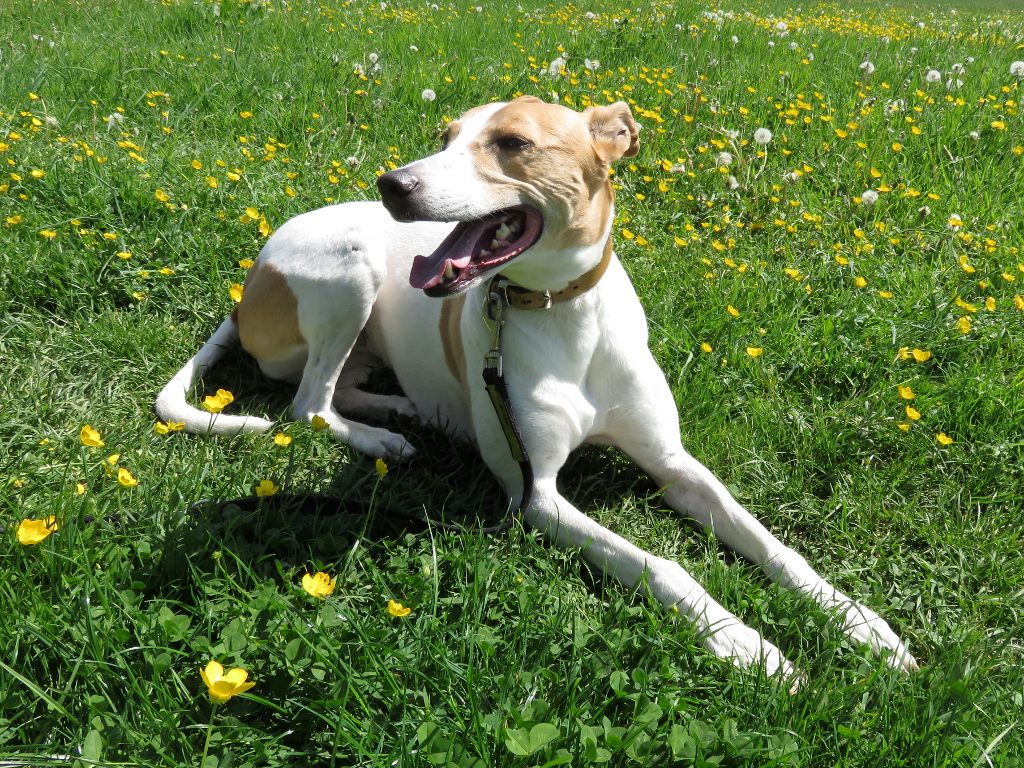
Our beautiful Bonniedog died at the end of July. She'd been a bit ill for a month or two, but in the end it was all very sudden and a huge shock 
This is so difficult to write. I've been coming back to it for a month now, going through all the photos we took of her and maybe adding a few more words before having to stop and cry some more. No amount of words or pictures will provide a fitting eulogy, but here we go:
Bonnie was rescued in Ireland, and made her way over here via the Dogs Trust. She had a couple of failed rehomings before eventually moving in with Jon about 8 years ago, and then I came on the scene a couple of years later.
I'd never lived with a dog before, and it did take some getting used to! Not going to lie, there was a bit of a power struggle at first as she was perhaps reluctant to share Jon's affections, but we soon figured it out.
impromptu modelling session
We don't know a lot about her early years, but can guess from her behaviour and reactions that she was most likely used for hunting - probably deer. Prey drive good, recall bad... And, unfortunately, she was a certified cat killer - so almost always wore a lovely pink muzzle when out and about, to keep both her and the local wildlife safe.
continue reading »
 tags: Gloucester trigpoint walking


